


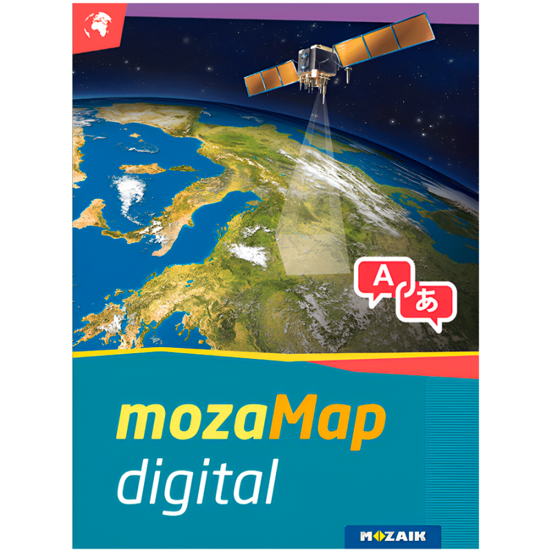
Multilingual Geographical Digital Atlas - Upper Primary. 1year, 1device. 127 maps.


mozaMap
With 1 year license, you get 127 Multilingual Digital Maps for Interactive Boards or any Windows device

Now Geography and History teachers can plan and conduct classes more efficiently, by using or even customizing various types of maps and their visual elements. To enjoy the benefits of mozaMap atlases, keep in mind that you need to purchase the mozaBook software license first.
WHAT MAKES MOZAMAPS SPECIAL
| Printed maps are no longer necessary. You can have more digital maps instead, store them in your device to save space and present them anywhere.
| Ability to highlight important details. MozaMap atlases include layers and teachers can easily switch them on/off or set to flash, adjusting them to the needs of each lesson.
| All map segments can be enlarged without losing their quality, as they are vector-based files, enabling dynamic scale adjustments to the current magnification in real time.
| Multilingual in a few clicks. Both labels and user interface (menu system, layer names, legends, etc.) can be switched to the language you prefer.
| Increased interaction and student engagement through illustrations and other digital features available in the software.


PERSONALIZED USE
All texts included in the maps can be searched and found, while map layers can be turned on/off, one by one. In addition, educators can easily customize map views, adjusting them each time to the needs of their classroom for better results. For example, they can label and save the maps they created, including zoomed views, drawings, or even visible layers. Saved views can be inserted into mozaBook and opened during the lesson with a single click.
NUMEROUS ILLUSTRATION OPTIONS
Use the individual map layers to add freehand lines, images, geographical and historical symbols from a large collection or even annotations. With the built-in drawing tool, you get multiple options for illustration, as well as the ability to adjust their size to the scale of the map, save or move them. Whatever you create can be later used in the classroom.


- Producător: MOZAIK EDUCATION
-
Cod:MS-4095D
-
Greutate:0.500 Kg
Comandă rapidă
mozaMap
With 1 year license, you get 127 Multilingual Digital Maps for Interactive Boards or any Windows device
Now Geography and History teachers can plan and conduct classes more efficiently, by using or even customizing various types of maps and their visual elements. To enjoy the benefits of mozaMap atlases, keep in mind that you need to purchase the mozaBook software license first.
WHAT MAKES MOZAMAPS SPECIAL
| Printed maps are no longer necessary. You can have more digital maps instead, store them in your device to save space and present them anywhere.
| Ability to highlight important details. MozaMap atlases include layers and teachers can easily switch them on/off or set to flash, adjusting them to the needs of each lesson.
| All map segments can be enlarged without losing their quality, as they are vector-based files, enabling dynamic scale adjustments to the current magnification in real time.
| Multilingual in a few clicks. Both labels and user interface (menu system, layer names, legends, etc.) can be switched to the language you prefer.
| Increased interaction and student engagement through illustrations and other digital features available in the software.
PERSONALIZED USE
All texts included in the maps can be searched and found, while map layers can be turned on/off, one by one. In addition, educators can easily customize map views, adjusting them each time to the needs of their classroom for better results. For example, they can label and save the maps they created, including zoomed views, drawings, or even visible layers. Saved views can be inserted into mozaBook and opened during the lesson with a single click.
NUMEROUS ILLUSTRATION OPTIONS
Use the individual map layers to add freehand lines, images, geographical and historical symbols from a large collection or even annotations. With the built-in drawing tool, you get multiple options for illustration, as well as the ability to adjust their size to the scale of the map, save or move them. Whatever you create can be later used in the classroom.
Ofertă personalizată
Ai nevoie de un produs anume sau de o cantitate mai mare? Lasă-ți provocările pe mâna noastră! Ne ocupăm de tot, de la oferte personalizate la soluții rapide. Solicită o ofertă personalizată și găsim soluția împreună!
Info
bsp-shop.ro face eforturi permanente pentru a păstra acuratețea informațiilor din acest website. Totuși, pot exista inadvertențe: fotografiile au caracter informativ și pot conține accesorii neincluse în pachetele standard; specificațiile pot fi modificate de producător fără preaviz sau pot conține erori de operare. Toate promoțiile prezente pe website sunt valabile în limita stocului disponibil.